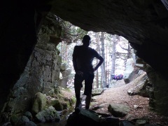
This route brings a memory of some episodes of the Spanish Civil War through the bunkers we find along the way and by the remnants of tungsten mining operations along the entire mountain conducted by the Germans during World War II, to give the steel shrapnel greater breaking power.
Moreover, besides the interest in flora and fauna.
We left the parking of the Puerto del León, in the old A6 from the “asador” restaurant and take the path on the left, in a southwesterly direction without crossing the road takes us by the side of military installations. We continue climbing up the forest road that runs right into the source of the Hondillas.
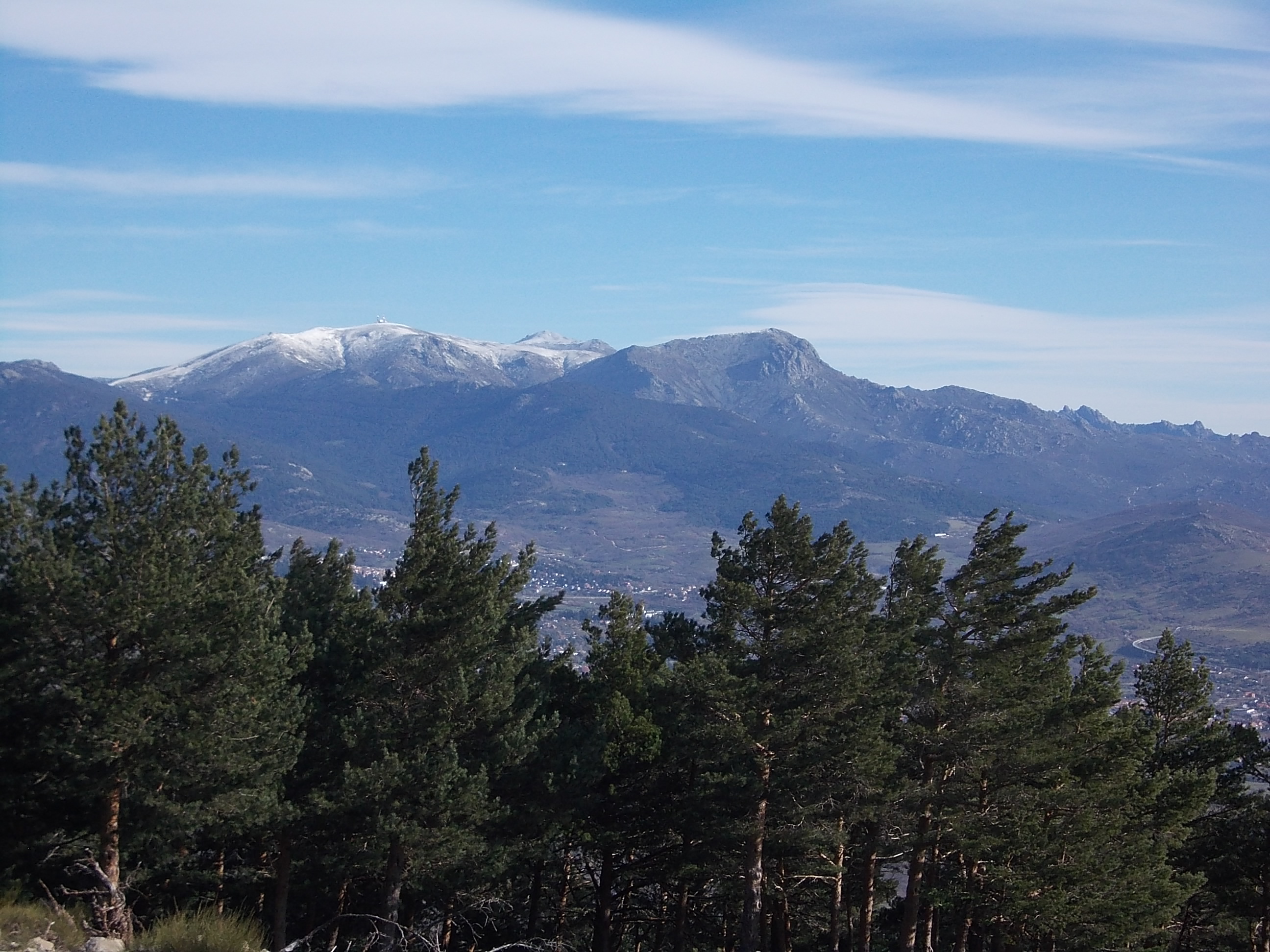
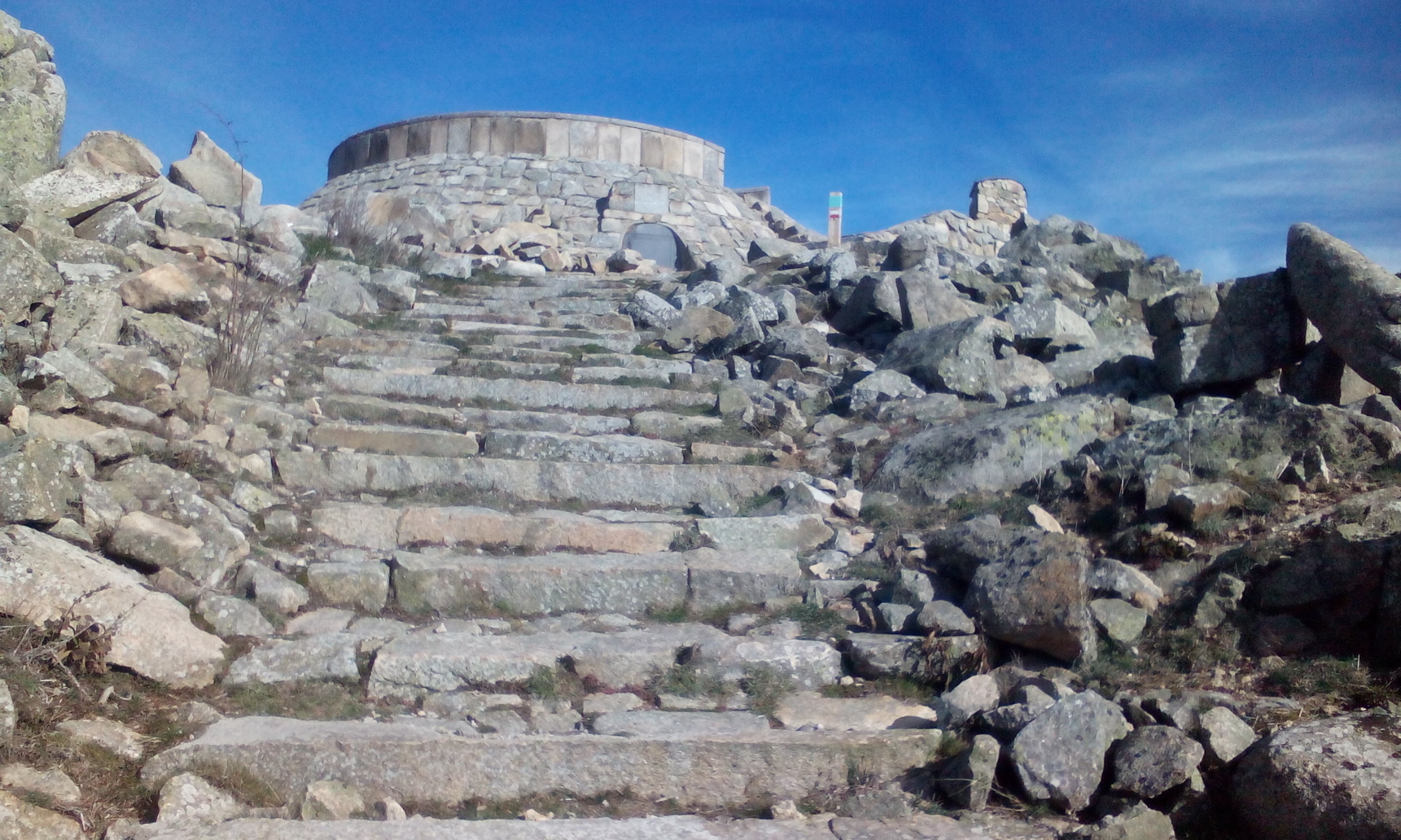
After reaching the hill of the mine (1710 m), to the circular path, back up through the viewpoint of Cabeza Líjar, an important artillery watch out position in the Civil War.
Este paseo tiene de interés el recuerdo histórico de algunos episodios de la Guerra Civil española a través de los búnqueres que encontramos a lo largo de la senda y por los vestigios de las explotaciones mineras a lo largo de toda la sierra desde tiempos inmemoriales pero en concreto las explotaciones de Wolframio realizadas por los alemanes durante la II Guerra Mundial, para dotar al acero de metralla de un mayor poder rompedor.
Por otra parte, además el interés por la flora y fauna del lugar.
Salimos del parking del restaurante asador del Puerto del León, en la antigua A6 y tomamos el camino de la izquierda, en dirección suroeste, sin cruzar la carretera que nos lleva por unas antenas de instalaciones militares. Continuamos ascendiendo por el camino forestal que discurre a la derecha por la fuente de las Hondillas.
Tras alcanzar el collado de la mina (1710 m), para hacer el recorrido circular, regresamos ascendiendo por el mirador de Cabeza Líjar. El recorrido se puede realizar en sentido inverso.


Ficha
Encuentro: Alto del León. Puerto de Guadarrama 40419 Segovia
Tiempo: Entre 4.00 y 5.00 horas.
Longitud: 10 km
Desnivel: 300 m
Recorrido: Circular.
Dificultad: Baja.
Material: Botas de marcha.
Recomendaciones: Llevar agua abundante y crema solar en verano