Nevero Peak with its 2209 meters is the highest peak in the Carpetanos mountains (which run between Peñalara and Somosierra) and the ninth of Guadarrama.
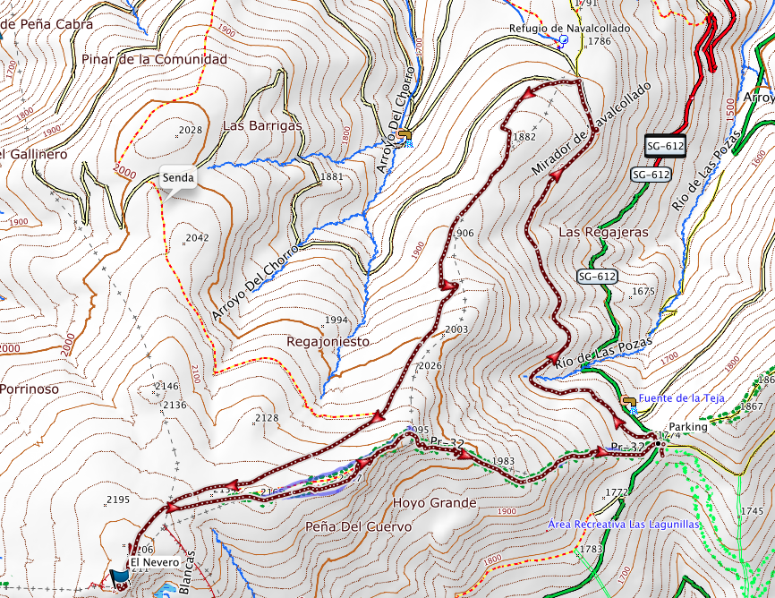
The route that we propose is circular, starting at the port of Navafría along the circuit cross-country skiing along the contour lines to the viewpoint of Navalcollado, for before reaching the refuge of the same name, turn left a path and climb to the ridge that goes to Alto del Puerto with southwesterly direction.
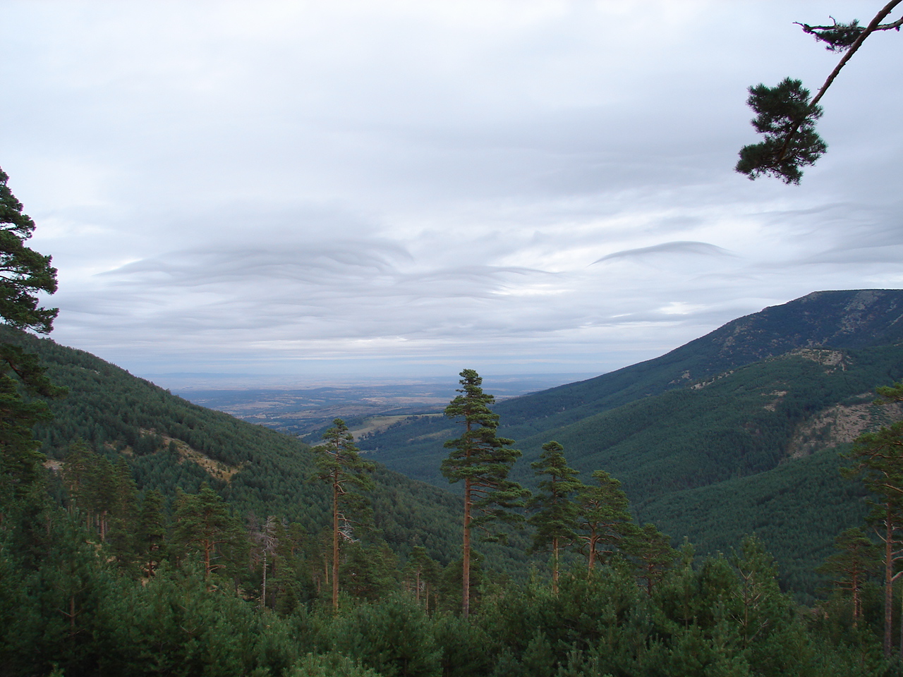
Highlight its special interest in winter using snowshoes, although in that case, be enabled track use of ski touring, the route must be return by the same road back we propose here, starting with the forest track to the south west which traces the wooded hillside course.
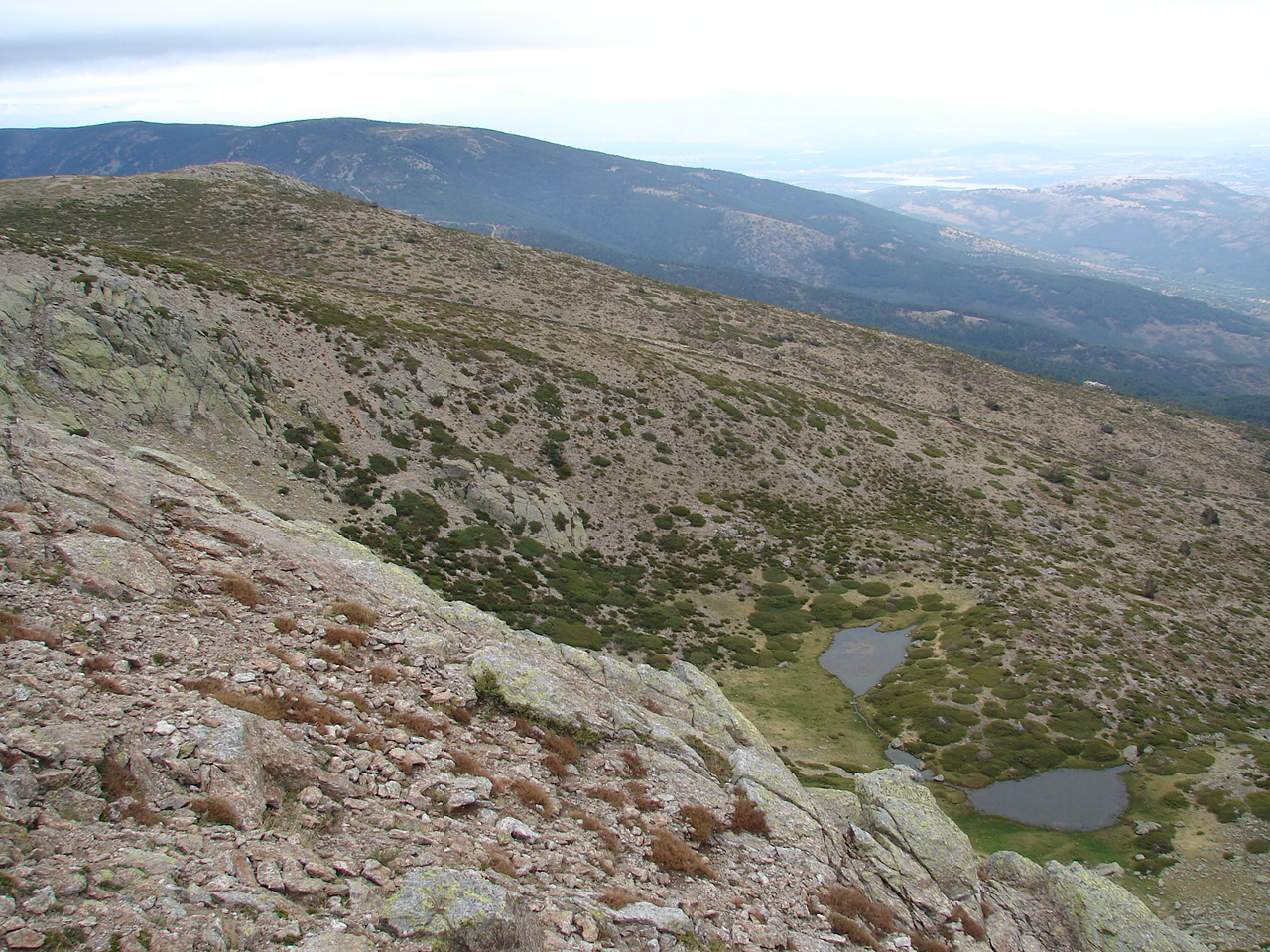
Their views and of course, its geological beauty are spectacular; especially when we reach Pinilla, remains of early glaciation and the risks of Hoya Grande.
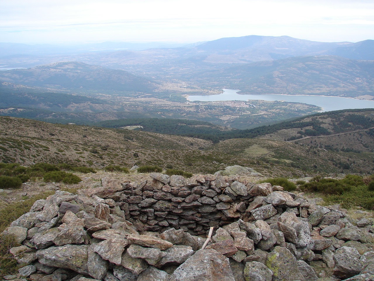
As icing on top appreciate old buildings and remains of trenches of the Civil War.
Walk back by the ridge and then entering in the pine forest east-northeast.
More details at http://es.wikiloc.com/wikiloc/view.do?id=15102042
Meeting at: Puerto de Navafría en la M 637 a 11,5 km from Lozoya del Valle or on SG-612, km 11, 40162, Segovia, from Navafría.
Duration: 4.00 to 5.00 hours.
Length: 11 km
Altitude: 560 m
Route: Circular.
Difficulty: Easy / medium in winter conditions.
Material: Mountain boots or snowshoes.
Recommendations: Water and Sun Cream in summer
El pico del Nevero con sus 2209 metros es la cumbre más alta de los montes Carpetanos (que discurren entre Peñalara y Somosierra) y el noveno de los de Guadarrama.
La ruta que planteamos es una ruta circular que comienza en el puerto de Navafría a lo largo del circuito de esquí de fondo siguiendo las curvas de nivel hasta el mirador de Navalcollado, para antes de alcanzar el refugio del mismo nombre, girar a la izquierda y ascender por un camino hacia la cresta que se dirige al Alto del Puerto con dirección suroeste.
Destacar en esta ruta su especial interés en invierno con nieve, para uso de raquetas, si bien en ese caso, por estar habilitada la pista para uso de esquí de travesía, la ruta deberá hacerse de ida y vuelta por el mismo camino que la vuelta que planteamos en ésta ruta, partiendo por la pista forestal al sur con rumbo oeste que remonta la ladera boscosa.
Sus vistas y cómo no, su belleza geológica son espectaculares; especialmente cuando alcanzamos los Hoyos de Pinilla, restos del glaciarismo primitivo y los precipicios de Hoya Grande.
Como guinda apreciamos en la cumbre viejas construcciones y restos de trincheras de la uerra Civil.
La vuelta la realizamos en principio por la cresta y posteriormente adentrándonos en el pinar con dirección este-noreste.
Ficha
Encuentro: Puerto de Navafría en la M 637 a 11,5 km desde Lozoya del Valle o en la SG-612, km 11, 40162, Segovia, desde Navafría.
Tiempo: Entre 4 y 5 horas.
Longitud: 11,3 kilómetros.
Desnivel: 560 metros.
Recorrido: Circular.
Dificultad: Fácil
Material: Raquetas de nieve. Botas de marcha, ropa de abrigo, crema solar y agua abundante.